AI for Earth Observation and Remote Sensing
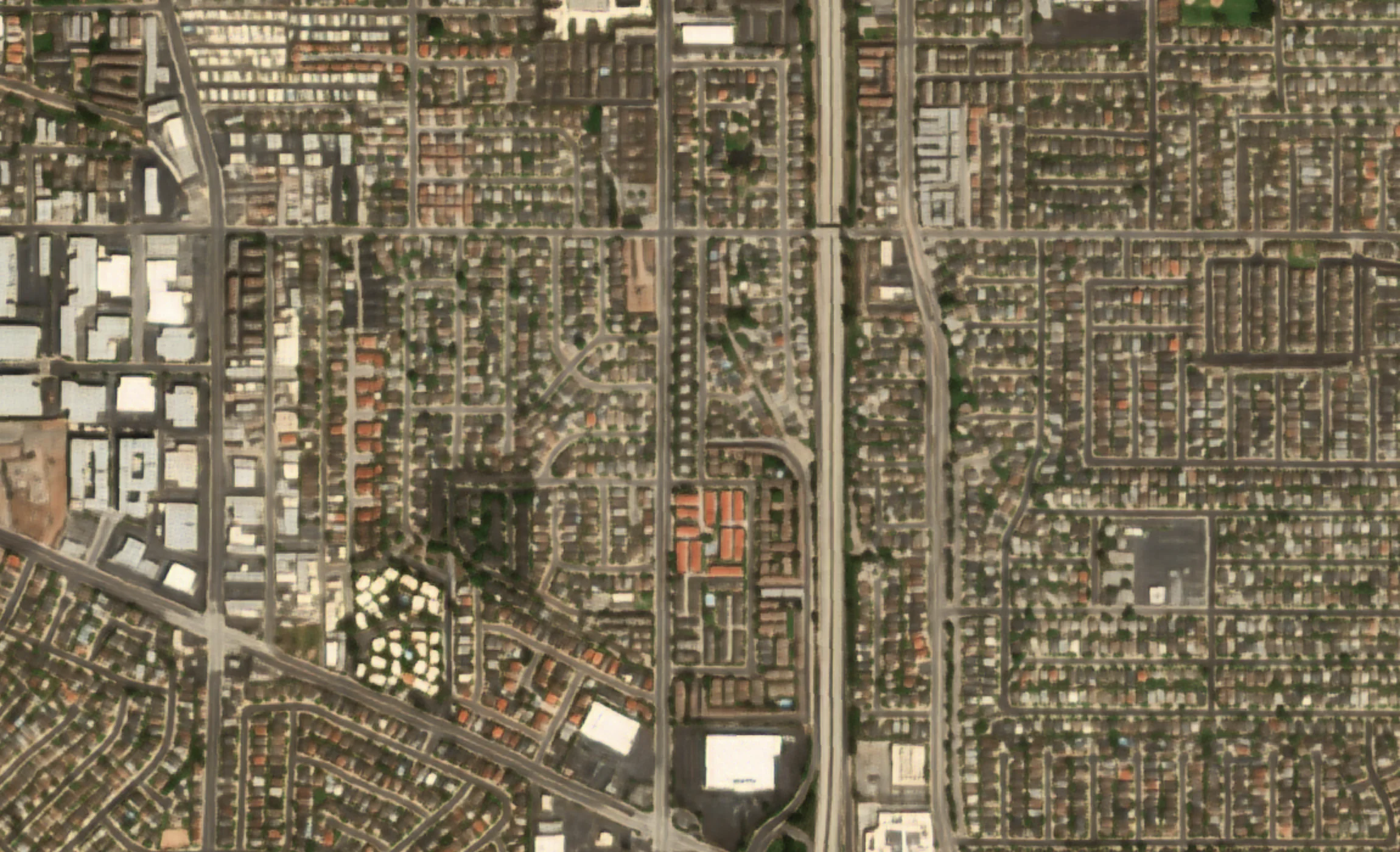
Gamma Earth resolves satellite and aerial imagery beyond its native limits — a deep-learning approach to super-resolution, extended across spatial, spectral, and semantic detail. We call it Deep Resolution.
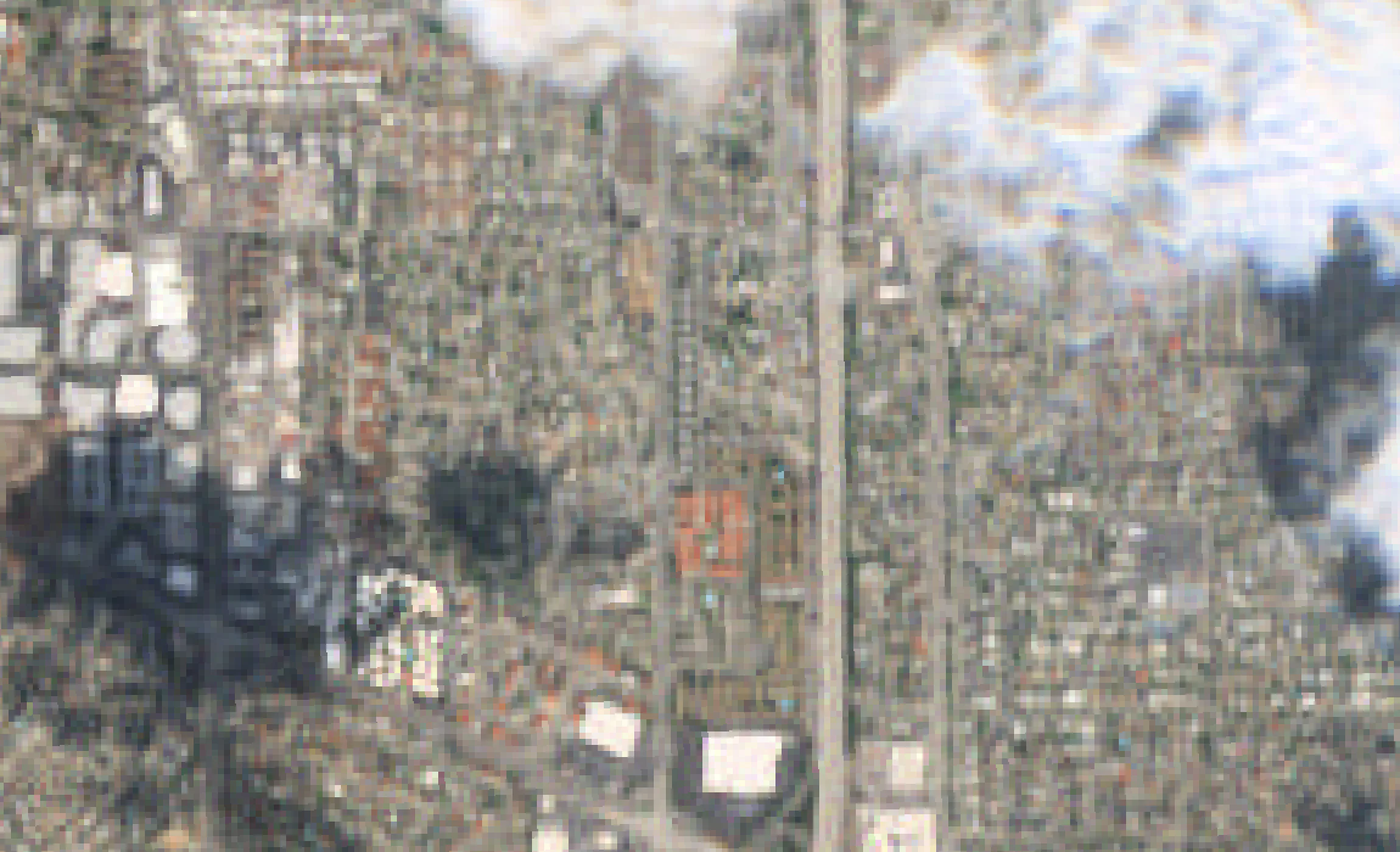
Sentinel-2 · 10 m
S2DR4 · 1 m
Sentinel-2 true-colour imagery of a residential district in Los Angeles at 10 m, beside the GammaEarth S2DR4 output at 1 m, where the street grid, the freeway corridor and single rooftops become legible.
Our products
S2DR. Enhanced Sentinel-2 imagery, ready for any workflow
Access high-resolution imagery
Super-resolve any Sentinel-2A and Sentinel-2B scene to 1 m/px from 2018.
A unique cloud mitigation
Remove haze, clouds and cloud shadows using S2DR4.
Analytics-ready outputs
Generate 16-bit 10-band, RGB, NDVI and IRC GeoTIFFs.
Easy km²-based pricing
Buy credits when you need and consume them by processing your AOIs.
How we work
Use it yourself, or have us build it for you
Self-serve super-resolution for Sentinel-2
Run S2DR via API, SDK, billed by km² and free to start.
Explore productsCustom, on-demand work
EO analytics, super-resolution of your own satellite or aerial imagery, and AI-native sensor design.
Explore servicesTrusted & backed
Used across 180 countries, backed by leading Swiss institutions

ESA BIC Switzerland
ESA Business Incubation Centre Switzerland.

Venture Kick
Venture Kick.

Cardano Foundation
Cardano Foundation.
See Deep Resolution
Run it yourself on Google Colab — free, in your browser — or get in touch about your use case